
4
(1)
4
Starting at approx 1900 meters the first 15 kms is mostly moderate downhill on farm tracks and some runnable single track through pine forests, then there’s a long big climb up to a rocky ridge line at 2800 meters.
Then a steep drop down into the next valley on technical loose rocks and another rolling trail section through pine forest before a very steep big climb of approx 1100 meters up to the high point of the race at 2900 meters.
Then another descent over moderate/technical terrain back to the finish line.
Problema técnico
Paisaje
Organización
Aperitivos
Octubre
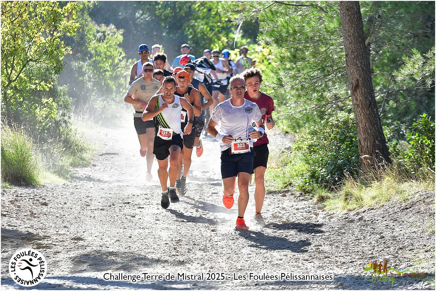
Pélissanne, Bouches-du-Rhône, France
0
(0)
15 km
Up to
500 m
Up to

Septiembre
Marbehan, Belgique
0
(0)
22 km
Up to
550 m
Up to
Septiembre
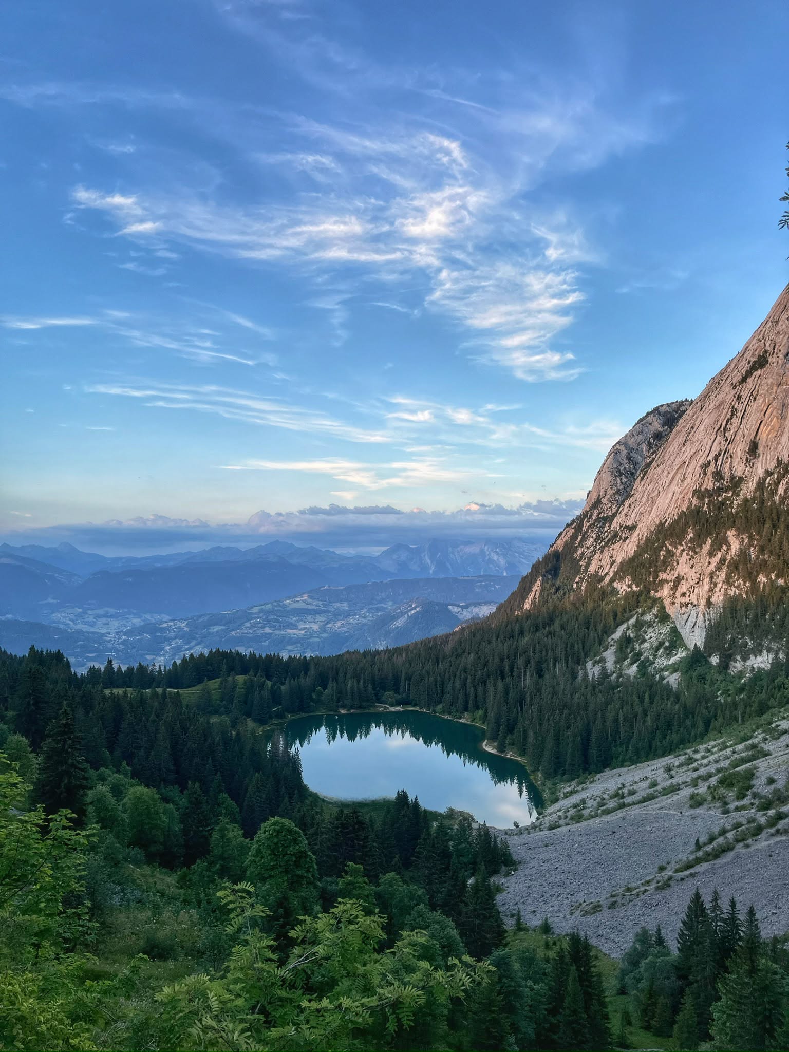
Mont-Saxonnex, Haute-Savoie, France
0
(0)
7 km
Up to
300 m
Up to