4
(1)
4
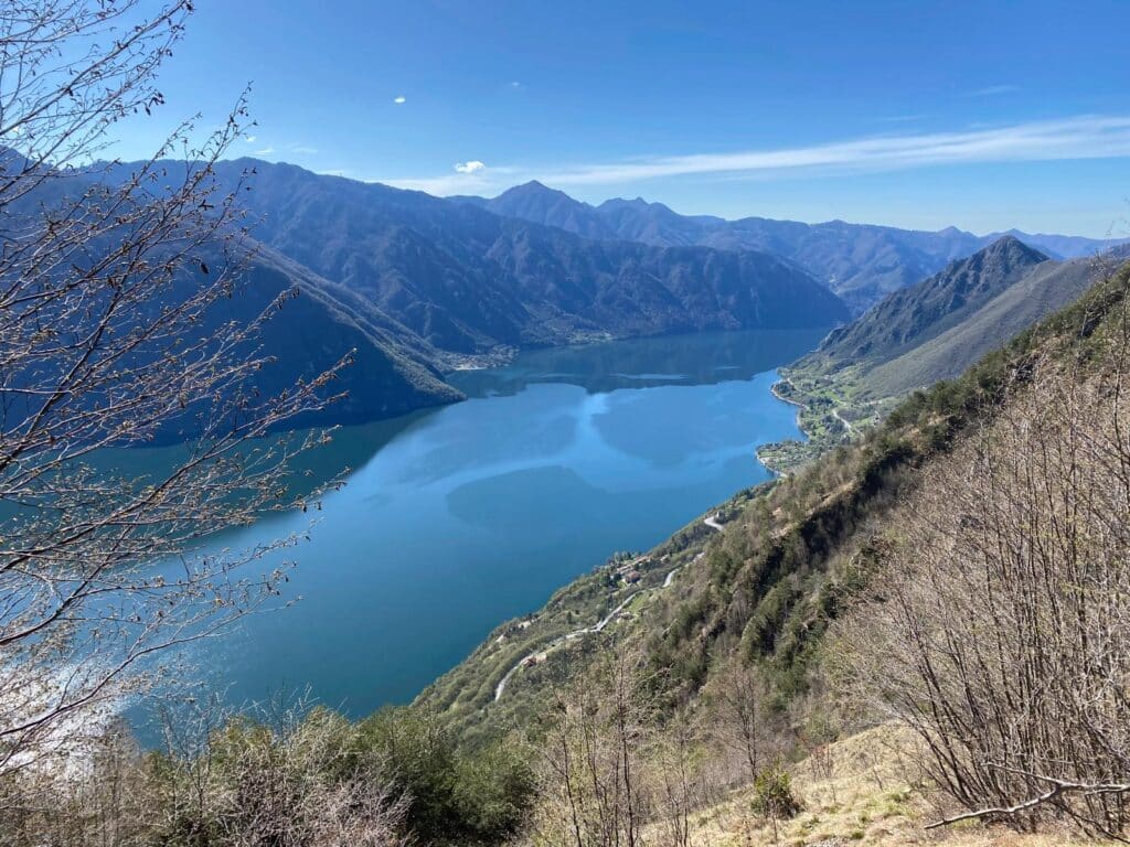
Starting at approx 1900 meters the first 15 kms is mostly moderate downhill on farm tracks and some runnable single track through pine forests, then there’s a long big climb up to a rocky ridge line at 2800 meters.
Then a steep drop down into the next valley on technical loose rocks and another rolling trail section through pine forest before a very steep big climb of approx 1100 meters up to the high point of the race at 2900 meters.
Then another descent over moderate/technical terrain back to the finish line.
Difficultés techniques
Paysage
Organisation
Rafraîchissements

Août
Penguily, Côtes-d'Armor, France
0
(0)
18 km
Up to
500 m
Up to
Juillet
Bagolino, Brescia, Italy
0
(0)
30 km
Up to
1900 m
Up to

Juillet
Vale de Cambra, Aveiro, Portugal
5
(2)
25 km
Up to
1600 m
Up to