4.6
(7)
4
Une très belle course au cœur de la haute Savoie avec des panorama incroyable
Technical Difficulty
Landscape
Organisation
Refreshments
4
Une course sympathique avec de nombreux moyens (direct vidéos, live trail…), l’organisation était top
Technical Difficulty
Landscape
Organisation
Refreshments
5
Technical Difficulty
Landscape
Organisation
Refreshments
5
Parfait
Technical Difficulty
Landscape
Organisation
Refreshments
5
Super beau paysage mais très exigeant
Technical Difficulty
Landscape
Organisation
Refreshments
4
Un parcours exceptionnel, technique, sauvage, paysages incroyables. Des bénévoles et une organisation au top.
Technical Difficulty
Landscape
Organisation
Refreshments
July
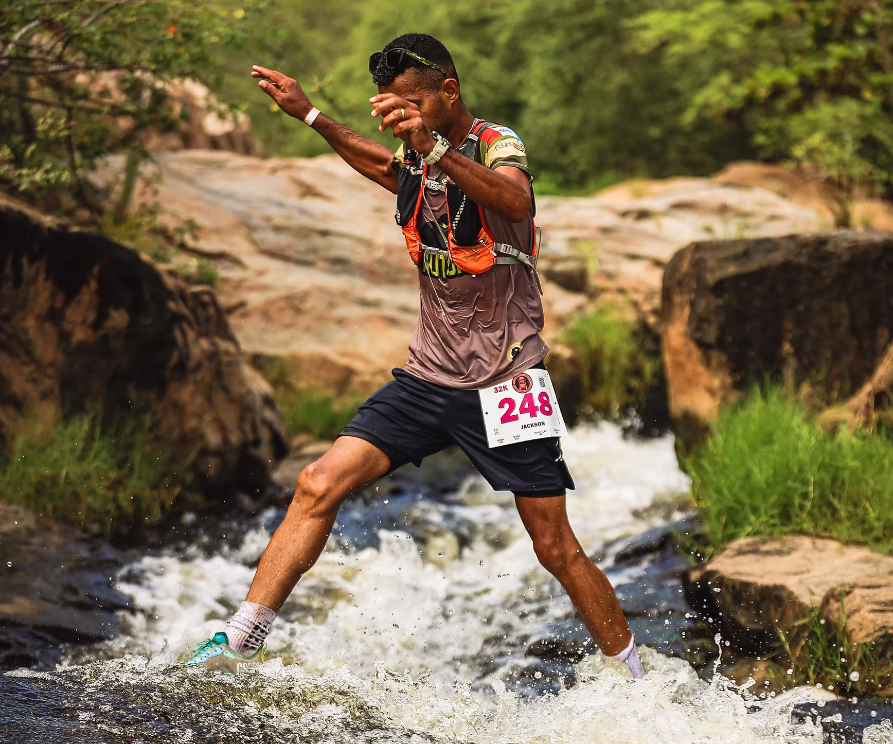
Canindé de São Francisco, Sergipe, Brasil
5
(4)
55 km
Up to
2000 m
Up to
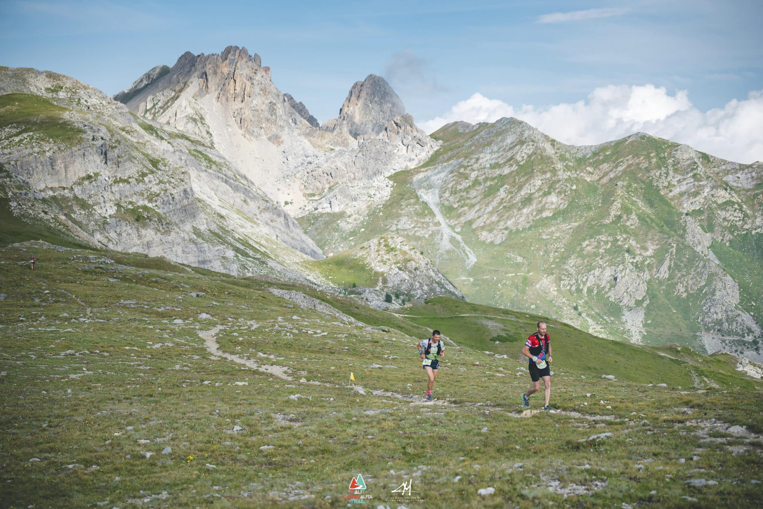
July
Pradleves, Coni, Italy
0
(0)
80 km
Up to
4500 m
Up to
October
Vauvert, Gard, France
5
(1)
175 km
Up to
7000 m
Up to